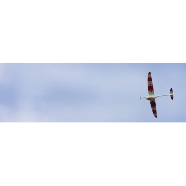
Scalaeye S6 E
- Remove this product from my favorite's list.
- Add this product to my list of favorites.

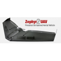
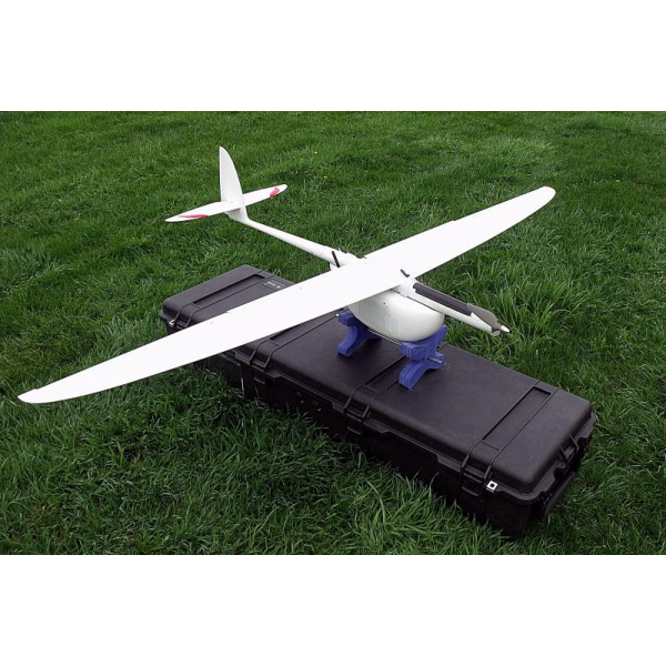
Airframe ideal for the researcher or developer .
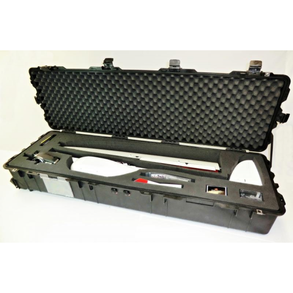
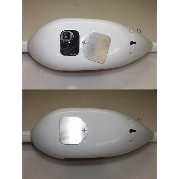
Includes: Hardware , door camera lens cover and parachute recovery system ready to use.
no ensablé
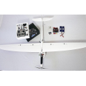
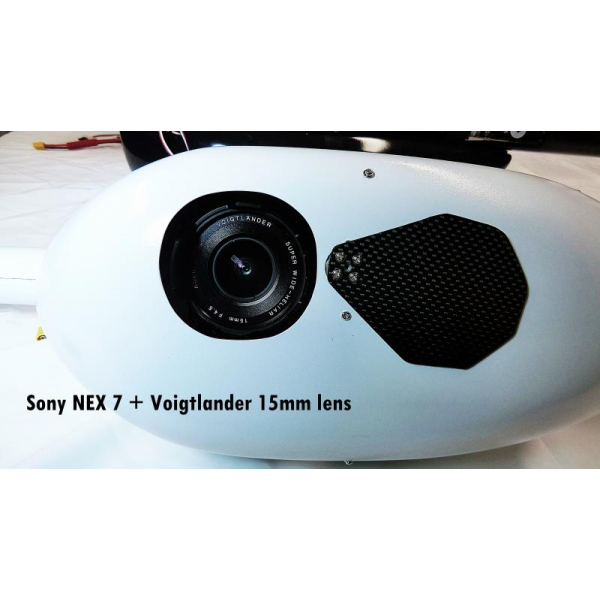
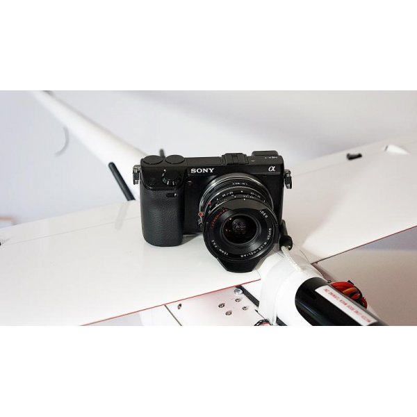
Professional Package : fully autonomous + range 20 km ( telemetry and control) + Sony NEX 7 ( 24 megapixel camera ) lens with Voigtlander Heliar 15mm (wide) .
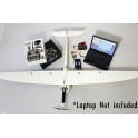
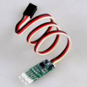
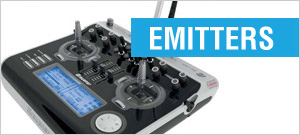
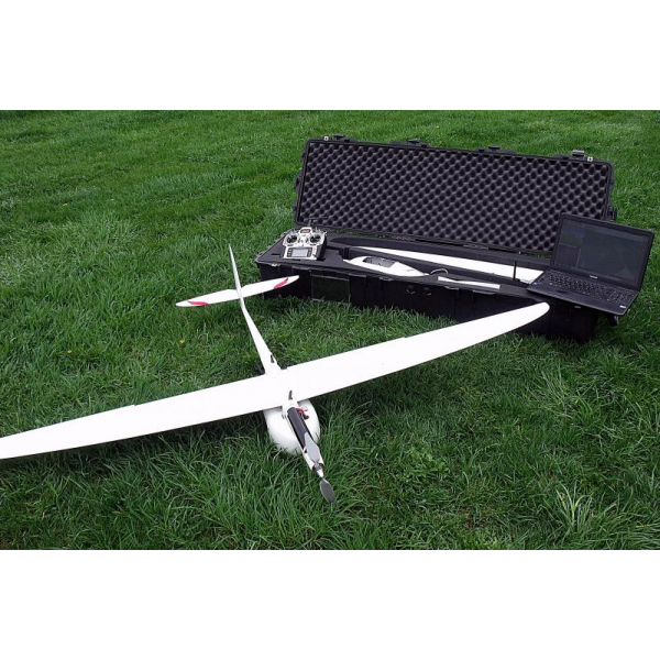
Includes: Aeromapper platform ready to fly with autopilot ArduPilotMega 2.6 + uBlox LEA- 6 GPS for fully autonomous GPS navigation, Spektrum DX8 and all installed and parachute recovery system ready to use electronics. Laptop not included .
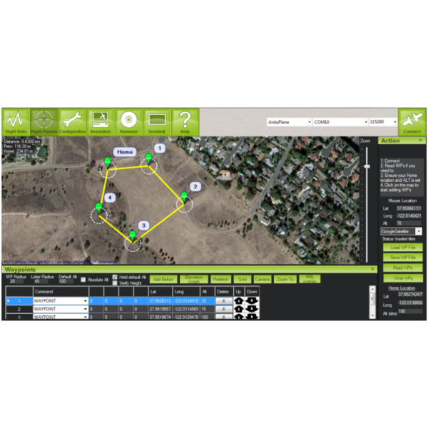
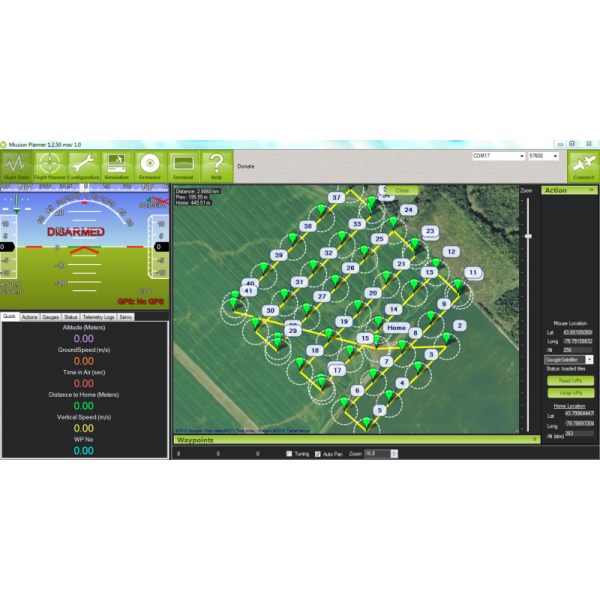
Includes Mission Planner software to quickly and easily upload waypoints to your flight plan with a few clicks .
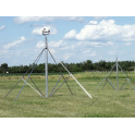
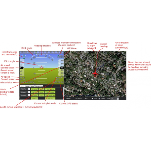
Ground control software included for full information on flights and in-flight commands ( 2-way , up to 20 km range) .
Five preset modes and flight : flight manual , auto - stabilization , Fly By Wire, Return- to-Home & Full Auto ( for missions and automatic takeoff ) . Failsafe also preset .
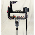
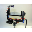
Also included Camera : Sony Nex 7 Camera Lens Sony 15mm Voigtlander Heliar ( 24 megapixel interchangeable lens capable !) . The user can also use other lenses and no need to change the mounting of the cameras !
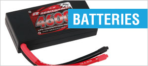
Includes two 4000 mAh Lipo battery high performance motor up to 40 minutes of flight time .
We can install custom camera / payload of your choice. Email us for a quote.
We offer full support after purchase .
If you have additional questions , please let us know.
SPECIFICATIONS:
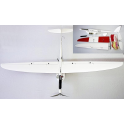
- Wingspan: 2.0 m
- Fuselage length : 1.2 m
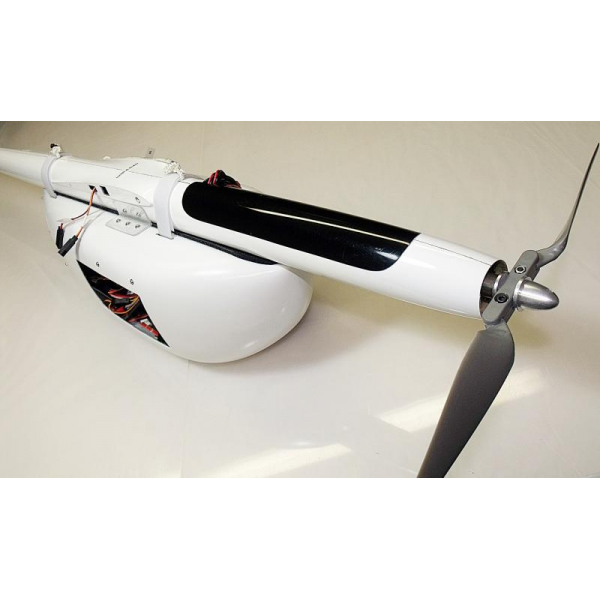
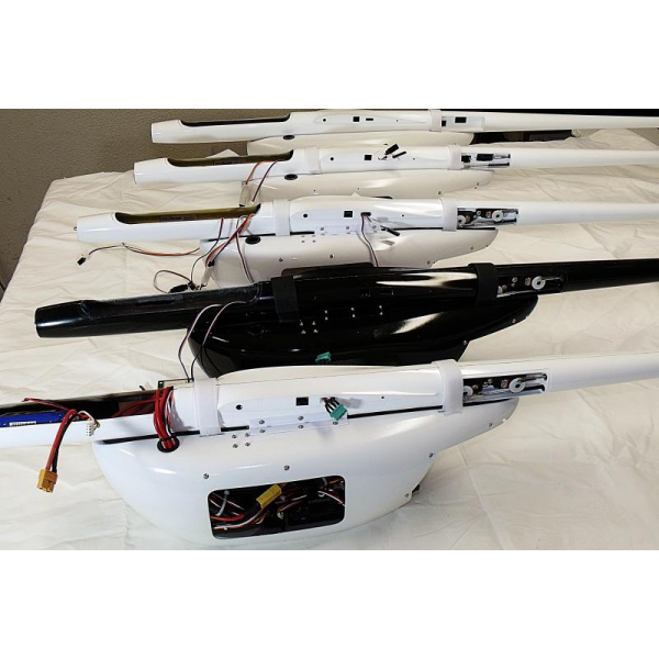
- Structure: the airframe is made entirely in carbon fiber reinforced . The load module useful Bay is built in fiberglass.
- Full available control surfaces : rudder , ailerons, flaps , elevators, throttle .
- Uses : Ideal for photomapping and remote sensing because of its wide range of speeds, excellent structural strength and wide UAV Payload Bay Module .
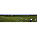
- Takeoff : Hand Release
- Empty weight : 1260 gr
- Cruising speed : 50-60 km / h .
- Top speed: 130 km / h - The Aeromapper UAV has excellent wind penetration and high performance in gusty conditions.
- Approx. Coverage area for mapping missions : 900 Ha in 30-45 minutes flight (depending on flight height ) .
- Parachute recovery system : compact, lightweight Kevlar parachute lines .
With the option of Aeromapper E can create stunning maps with your camera 24 megapixel resolution , up to 2 cm / pixel. Covers up to 10 s.km 40 minute flight. Includes the best optioncs UAV for mapping : Voigtlander 15mm wide angle lens . Fully automatic flight easy recovery parachute landing. Take pictures automatically. It ` s detailed User Manual provides . No training is required .
Includes Mission Planner software ( 3D Robotics , free download ) to create missions and display of real- time telemetry link .